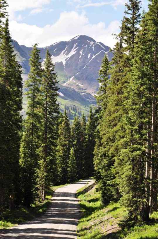
We were fortunate to be able to make the trip to Colorado this year. Two years ago, we did some primitive tent camping at Lost Lake Slough and really enjoyed ourselves. Lost Lake is located off of CR-12, a seasonal road (open during summer months only) that runs east to west from Crested Butte to Paonia and is part of the West Elk Loop Scenic Bi-way. The area around CR-12, also called Kebler Pass, offers a wonderful, scenic drive through Gunnison National Forest, with sprawling hills of beautiful quaking aspen dotted with spruce and pine. Along the way, one can witness the grandeur of several mountain peaks. Driving west from the revitalized former mining town turned ski resort destination, Crested Butte, the Anthracite range comes quickly into view to the south. Immediately to the north, the Ruby Range rises to over 13,000 feet, and is the southwestern portion of the Elk Mountains, home of the most photographed area in Colorado, Maroon Bells to the northeast. To the northwest of the Ruby Range, lies the broken area of clustered mountain peaks appropriately called The Raggeds. To the southwest, past Anthracite Range, are East and West Beckwith mountains, where Lost Lake Slough is located at 9,600 feet. And in between the Beckwiths, The Raggeds and Ruby Range is a menacing-looking mountain called Marcellina.
Here is a topographical map of the location, indicating the Beckwiths, Lost Lake Slough campgrounds, Marcellina, The Raggeds, Mt. Owen, Ruby and Lake Irwin campgrounds:
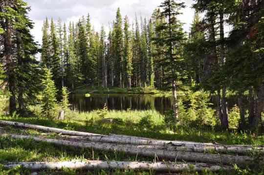
This year, we called ahead to discover that Lost Lake Slough campground is closed for renovations, with plans to be open again next season. So we decided to stay at Lake Irwin campground about half an hour back on CR-12 towards Crested Butte (the easternmost circled area in the map above). Lake Irwin is a beautiful alpine lake located on the east side of the Ruby Range, above 10,000 feet. We knew we were taking our chances coming into the campgrounds, because we discovered during our planning that reservations took up half of the spots and there were no reserved spots available even three months out! We drove in with a fully packed car, crossing our fingers for luck in finding an open campsite. Luckily, we did! The campsite we chose offered a beautiful view of Ruby and Owen, as well as Scarp Ridge to the north. Just thirty feet from the campsite was a quiet pond full of small fish, frogs, salamanders and, from what I could see, leeches.
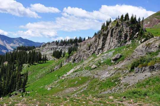
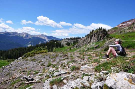
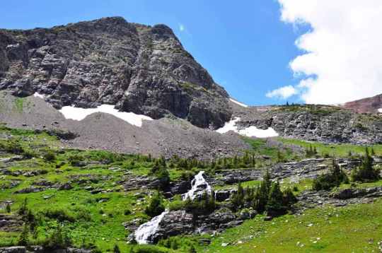
Coming from an altitude of 400 feet here in Austin, we had to acclimate the first couple of days before setting out on our attempt to climb Mt. Owen. From camp, it was about a six mile hike to the top and back, with nearly 3,000 feet in elevation gain. According to the topographical maps I had, an old 4×4 road leads up from the campgrounds to the base of Owen. We followed a trail to the 4×4 road, then abandoned the road at the base of Ruby, opting to follow a group of hikers to the base of the Dike Trail. The Dike is the southernmost extension of Ruby Range, consisting of sheer rock clicks that form a backbone. Instead of turning south towards the dike, we hiked north along the base of Ruby and then Mt. Owen, passing a few waterfalls along the way, and stopping to admire the view that opened up around us.
After hiking parallel with the mountain for some time, we came across the trail that leads up to Mt. Owen’s saddle. The trail leads up to a pristine lake (called Green Lake) consisting of water exclusively from mountain snow runoff. The lake looks green until you get above it, then it magically turns bright blue.

You can see the trail leading up the saddle here. On the other side of the rocks in the foreground is Green Lake.

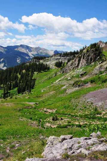
From high up the saddle, looking down at Green Lake. Scarp Ridge in the background with Elk Mountains in the distance (left)
We had a great climb. Although the afternoon caught up with us before we could climb to the summit and I didn’t like the looks of the gathering rain clouds, we really enjoyed ourselves and the views.
After climbing down, I hiked around to the other side of Lake Irwin to get some shots looking back at Ruby Range.

Looking west across Lake Irwin to Ruby Range (from left: Grand Dike, Ruby Peak, Mt. Owen and Purple Peak)
Our first night at camp we heard the distant rush of water as if there was a nearby river or waterfall. Upon closer inspection, we found this small creek and water fall. We had to stop by and take a few pics. Even though this water was near freezing, my daughter and wife were true sports, wading in and allowing me to get a couple of good shots.

I had to slow down the shutter speed to get the waterfall effect I liked - they just had to stand really still.
We followed the river a little further and found the source of all of the commotion, a ten foot waterfall that cascaded over some large boulders. This made for an awesome photo op:









Comments on: "Meet Mt. Owen, Ruby Range, Colorado" (7)
Gorgeous! I love the waterfall pictures. Sounds like you had a great time.
We could live there in that campsite, that’s how great of a time we had!!
Hi,
We have camped at Irwin for several years and loved it! Our visit 2 years ago was cut short by bears in the campground. Did you encounter any bears during your visit? Had you heard of any bear problems? We’d love to go back but don’t want the bear experience!
We did not encounter any bear, nor did we come across any scat while we were hiking. The camp hosts were new this season and did not relate any stories of bear activities. While it would be nice to see and photograph them from a distance, bear in the campground I could do without! Luckily, the trash receptacles were “bear-proof”, so perhaps this is why they were absent …
Breathtaking! The waterfall images are so refreshing and I can almost smell that mountain air. What a great family holiday you all had.
We have nothing like this in the UK but we have our beautiful moments too
Laura
The mountain air is so clean and fresh! Not like the air here in Central Texas! While I’m glad the mountains are only 15 hours away, I’m sad that the mountains are 15 hours away! 😛
Jean: I, too, was at Lake Irwin campground two summers ago – the first week in August – and there were bears. One bear ripped off the soft-shell cover of a guy’s pickup truck. Plenty of people left the campground the next day, but I stayed and we had no other problems. I have been to this campgound quite a few times over the years and have had no other problems with bears. They definitely need bear-proof food lockers at this campground, though. The bears are a small price to pay for the incredible scenery and hiking/biking. Also, the added bonus is to be close to wonderful Crested Butte. I will return again and again.